Ravenshoe
Leaving Ravenshoe after an enjoyable stay, it is overcast with showers, but still warm.
Heading north through Evelyn, Atherton, Mareeba, Kuranda and onto Palm Cove. The rain clouds departed and we are bathed in warm sunshine. Arriving in Kuranda, at the top of the range, we knew it would be a steep descent.
About 12 months prior that had severe weather in this region, and landslides caused roads to be closed and restricted. This is still evident all the way down the mountain, and also along the coastal drive towards Port Douglas,
Very slow descent with a 3 tonne van behind, 3 sets of traffic lights.
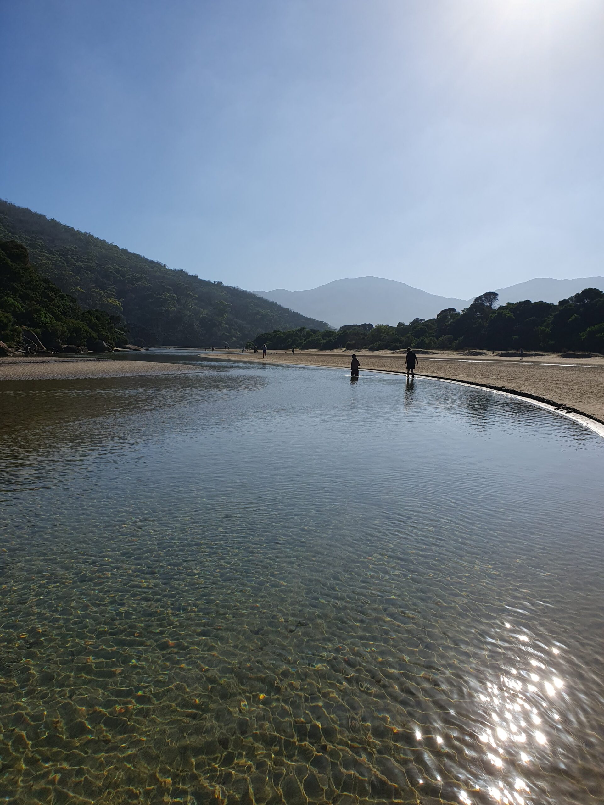
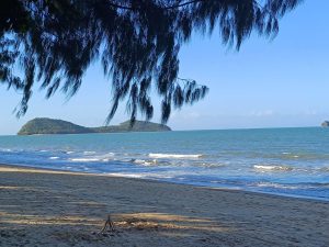
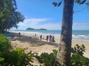
Palm Cove – 16 deg Sth of Equator
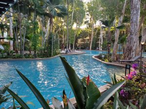
100 mtrs from the house
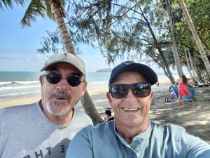
Back in familiar territory at Palm Cove, and also great to see Declan (my cousin) and wife Trish, who live up here.
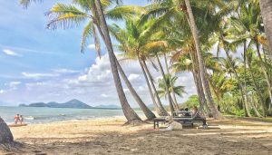
When you are in Palm Cove, the tranquil beauty, warm winter sunshine, I also feel like this dog on the beach, soaking up the easy-going lifestyle.
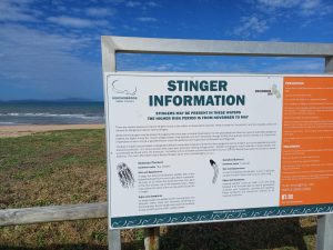
Be safe in the water. From October to June, marine stingers (including box jellyfish) are found in the ocean off Palm Cove. During this time, swim only within netted areas. No complaints from me!
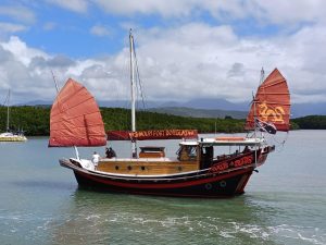

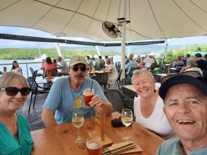
A few local drives, upto Port Douglas and surrounds. St Marys and a Junk where the river meets the sea.
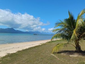
There are many seaside towns dotted along this coastline from Cairns to Port Douglas
Ingham pop 4500
Leaving Palm Cove, via Cairns, Hinchinbrook and onto Ingham for a few days.
 Hinchinbrook Is off the coast
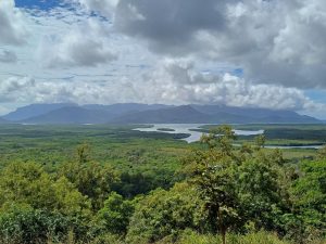
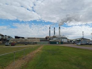
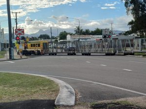
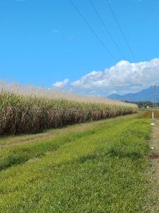
This is sugar cane country. First plantations were established in the late 1800’s. A work colleague, Ian Smith was born here, worked in the sugar cane industry, and received his weekly pay at the Station Hotel, along with all his workmates. I wonder whether any of the wage made it home?
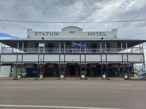
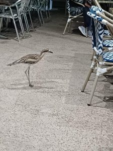
Sugar Cane Train passes the Station Hotel, a local bird at the pub and the endless sugar cane fields on the journey south.
Charters Towers
Continuing south, passing the outskirts of Townsville, we free camped for a few nights on the Burdekin River about 20klm from Charters Towers.
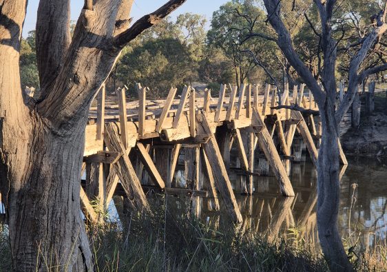
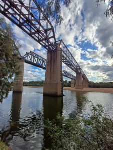 Railway & Road bridge in the dry
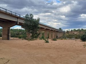
These images are from our stay, a reasonable amount of water, but below, in the wet season it turns crazy
 The railway bridge
 Road bridge
The Macrossan road and rail bridges. The road bridge is 13.4 mtr above the river bed, the rail bridge is 28mtr.
The high water mark on this sign is 25 mtr, (82 feet), which is up the road from where the photo was taken.
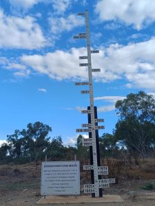
Thankfully we did not experience this tropical weather, hence why the Grey Nomads travel in the winter.
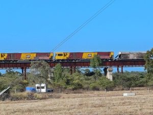 The train from the van crossing the river
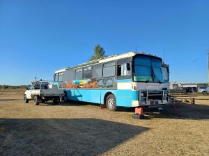
A couple from WA in a converted bus, complete with towing an A fame for his Hilux. They were well set up. Even had a lawn mover to keep the grass low. They stay months at a time, mixed with working in the mines on a casual basis for some extra income. Generated his power from Solar, and wind.
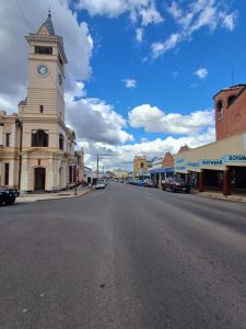
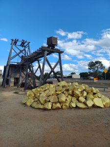
Charter Towers is a lovely outback town, with a pop of 8500, boomed in the late 1800’s, with gold deposits found. After a lean period of prospecting from the original seams exhausted, new deposits were found, and has become financially viable once again.
Bob Katter, a well known Federal MP is from Charters Towers